Cabin in Transacqua
Via Caltene, Transacqua, Trentino-Alto Adige 38054, Italy
Host · Cecilia
Open accommodation in Maps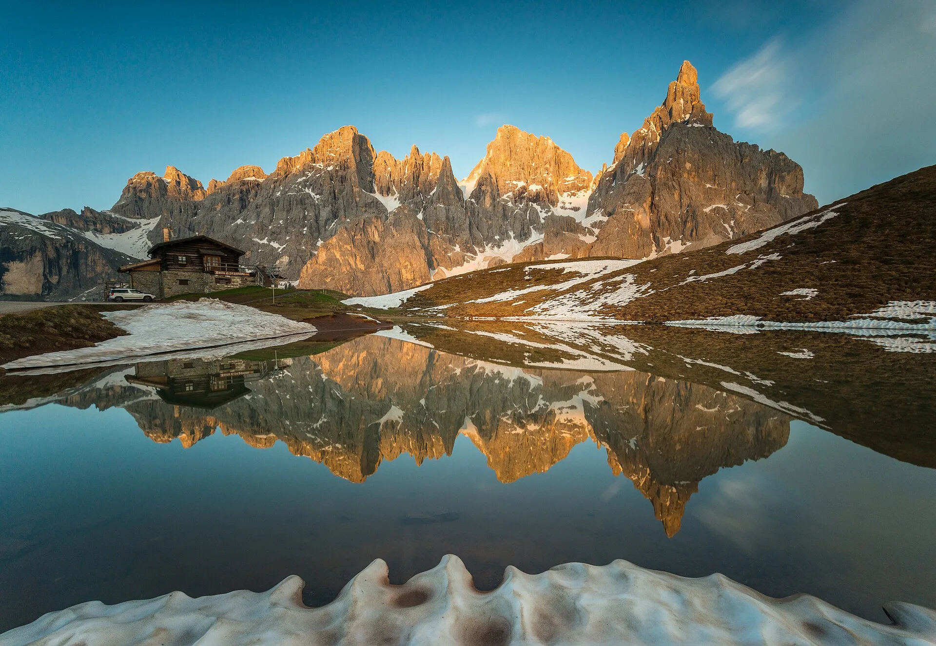
Transacqua · Pale di San Martino
The cabin sits in the Pale di San Martino — a spectacular, under-touristed corner. Everything below is 15–35 min away, so you trade driving for hiking. Sophie's original targets (Sorapis, Federa, Tre Cime, Braies) are all ~1.5–2.5 h away near Cortina; the local set replaces every one of them with the same scenery.
Where you're staying · Airbnb
Via Caltene, Transacqua, Trentino-Alto Adige 38054, Italy
Host · Cecilia
Open accommodation in MapsLocal-first. Drive times are from Transacqua.
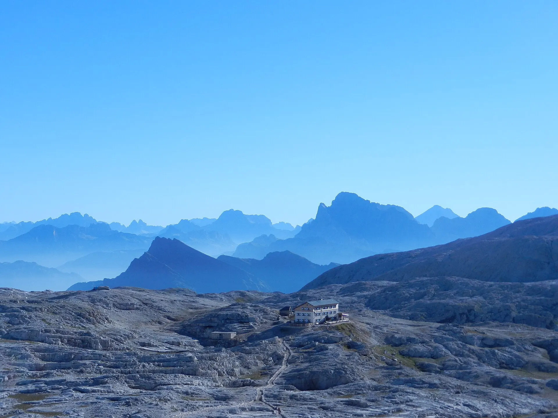
Ride the Colverde gondola + Rosetta cableway to a vast lunar plateau at 2,600–2,700 m. Walk the plateau (easy) or do the exposed Rosetta → Passo di Ball → Pradidali loop.
Parking · ~15 min to San Martino town; paid parking at the Colverde base. Cableway ~08:30–16:50 — ride up early.
Highest point — replaces the Tre Cime grandeur.
Open in Maps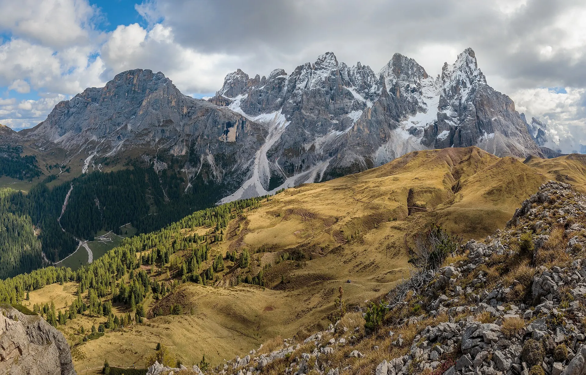
The little tarn below Baita Segantini gives the mirror-reflection shot people travel to Braies for; the summit is a 360° balcony. Best in late afternoon for the alpenglow.
Parking · ~20–25 min up the SS50 to Passo Rolle; large FREE car park at the pass.
Reflective tarn + viewpoint — replaces Lago di Braies (no reservation needed).
Open in Maps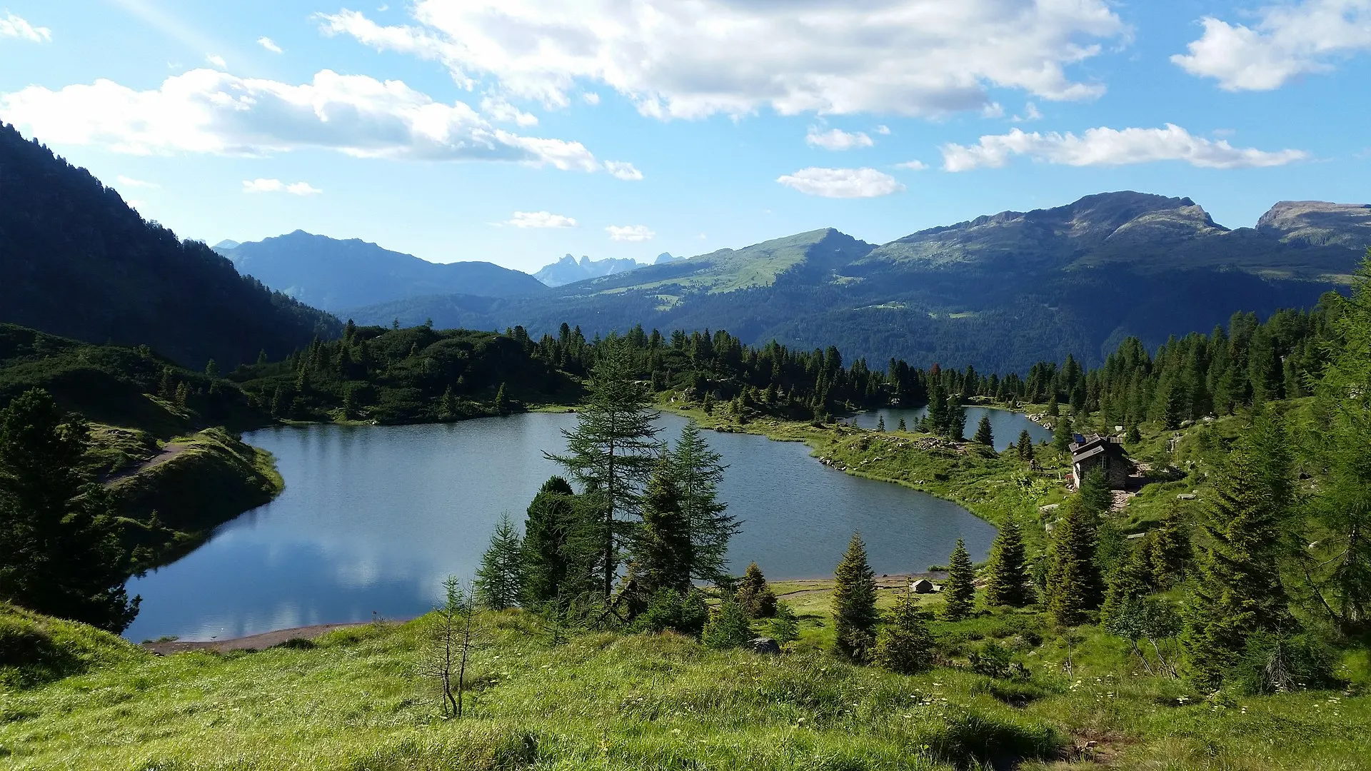
Two alpine lakes in the Paneveggio forest with a refuge on the shore. Easy ~30 min each way.
Parking · ~20–25 min to Passo Rolle; FREE parking by the Colbricon Express lift.
Replaces the Lago Federa / Sorapis lake feeling — gentle version.
Open in Maps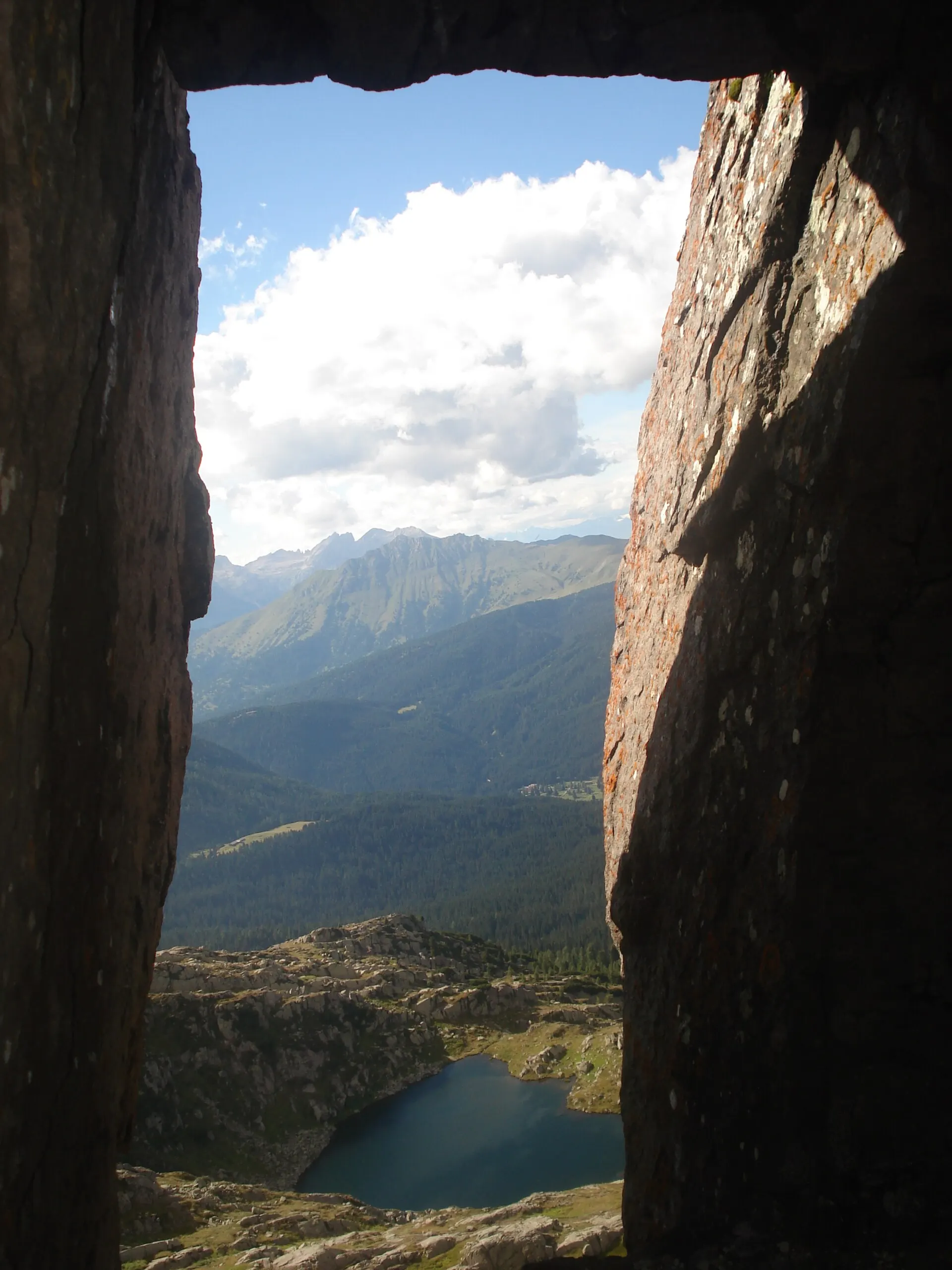
Add a high point and Lagorai panorama by looping over Monte Cavallazza before dropping to the lakes.
Parking · Same as Colbricon — Malga Rolle / Passo Rolle, free.
Open in Maps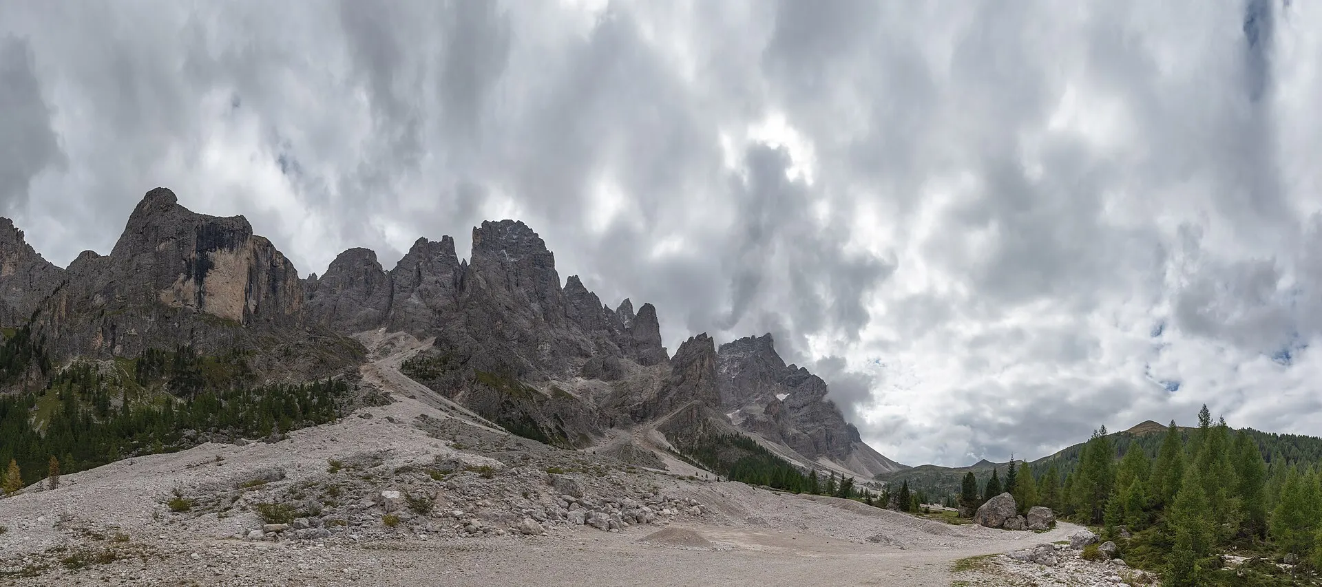
A broad grassy valley walk beneath sheer 3,000 m walls, past working alpine huts (Malga Venegia & Venegiota — great cheap Trentino food). Pram-friendly.
Parking · ~30–35 min via the narrow, winding SP81 beyond Passo Rolle. Paid parking at Pian dei Casoni (~€5/4h, €7 day, cash). Arrive early — fills fast.
Meadow amphitheatre under giant walls.
Open in Maps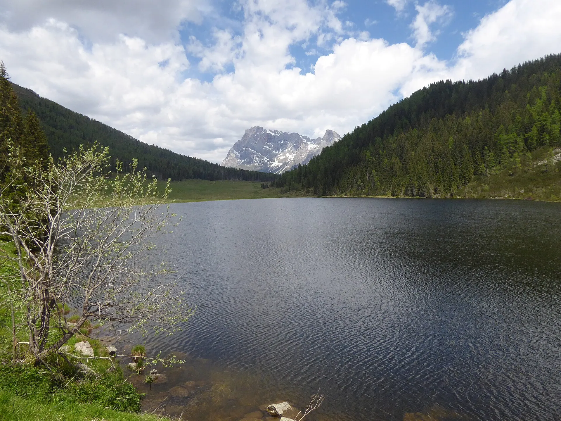
A serene lake with the Pale rising behind it and an easy circular shore walk — great for a picnic.
Parking · ~20 min from the cabin; car parks at the lake.
Lake + mountain backdrop, quiet.
Open in Maps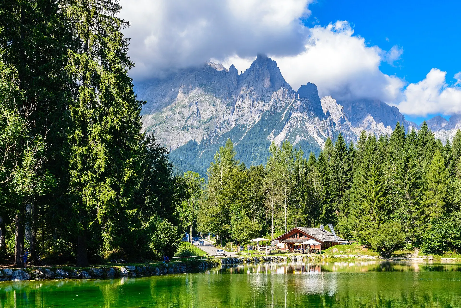
The hidden jewel of the quiet, wild Val Canali. Easy 1–2 h nature trails; spot crayfish in the lake.
Parking · ~15 min — the closest of all.
Secluded. No swimming.
Open in MapsAll ~1.5–2.5 h each way. Recommended to skip in favour of the local set above; if you do one big day, Tre Cime is the most iconic.
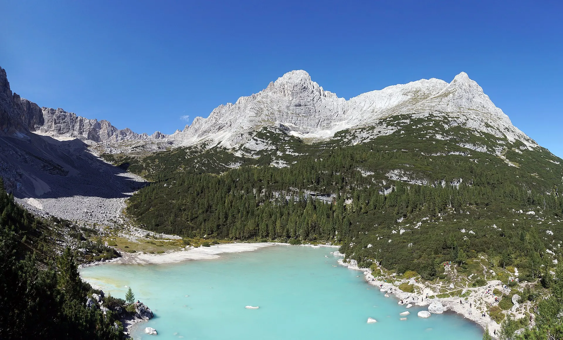
Famous milky-blue glacial lake; serious hike with exposed, cabled sections.
~2 h+ drive each way.
Open in Maps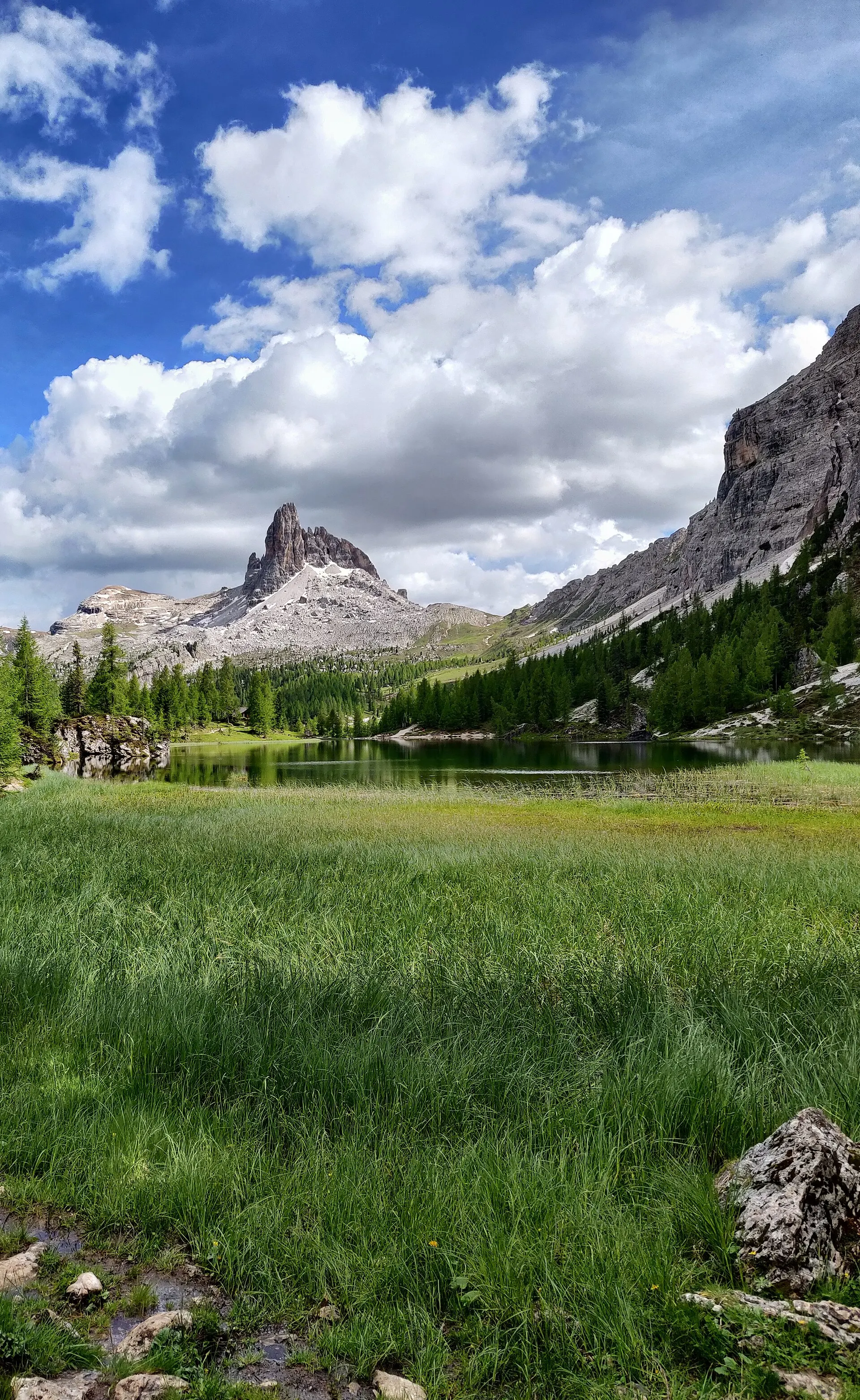
Larch-framed lake beneath Croda da Lago.
~2 h+ drive each way.
Open in Maps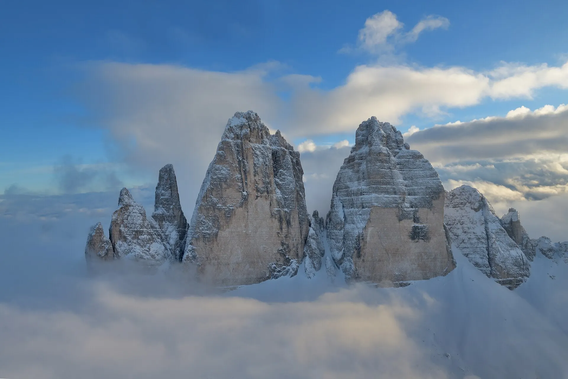
The iconic three peaks loop with Lake Misurina nearby.
~2.5 h drive; toll road to Rifugio Auronzo. The one worth a big day if any.
Open in Maps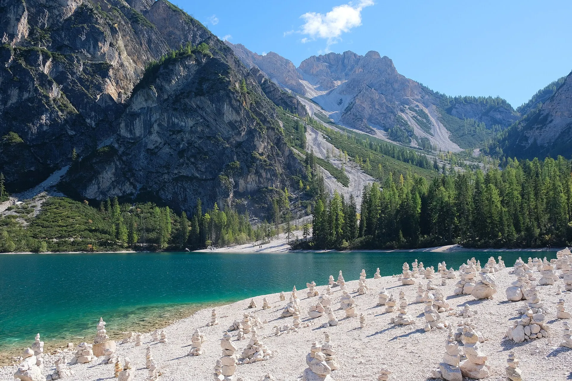
The famous emerald lake with the boathouse and rowboats.
From 1 July, driving access restricted ~09:00–16:00 — pre-book P4 parking, or arrive before 09:00 / use the shuttle. On 30 June you can still drive straight up.
Open in Maps